Point Cloud Visibility 2024
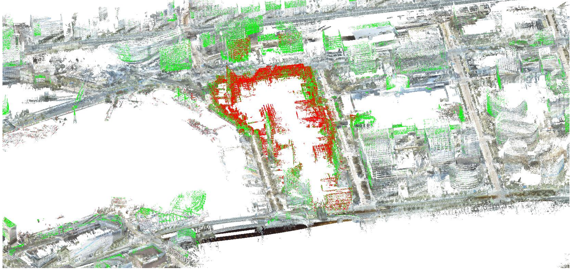
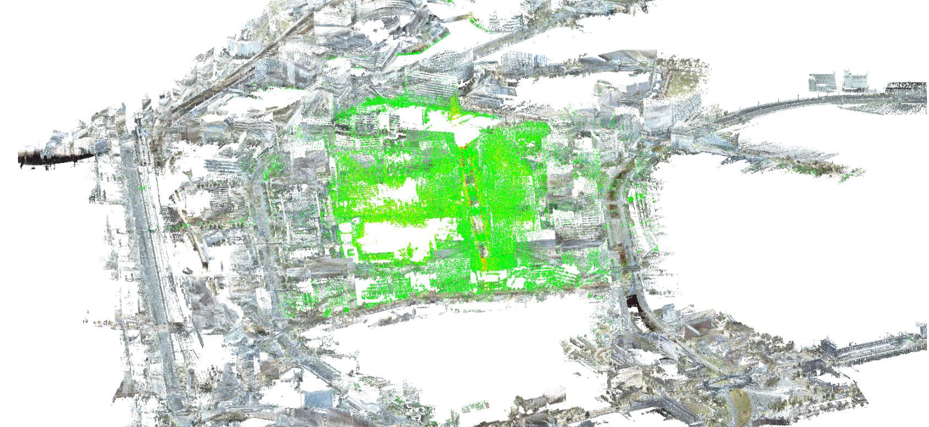
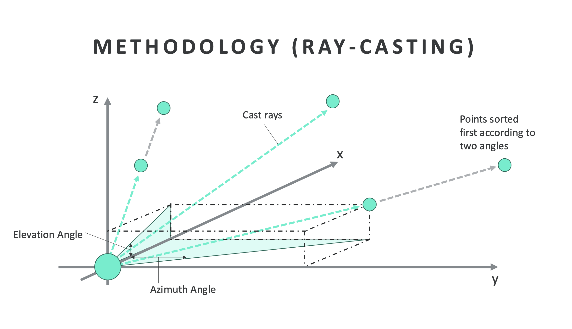
Point Cloud Visibility helps users find where a landmark can be seen from across a city. Our tool uses ray casting on point cloud data to assess sightlines and show which viewpoints offer a clear view of a chosen point of interest. We developed it to explore how visibility mapping could support sightseeing, real estate, and urban planning.
Recognition & Outreach
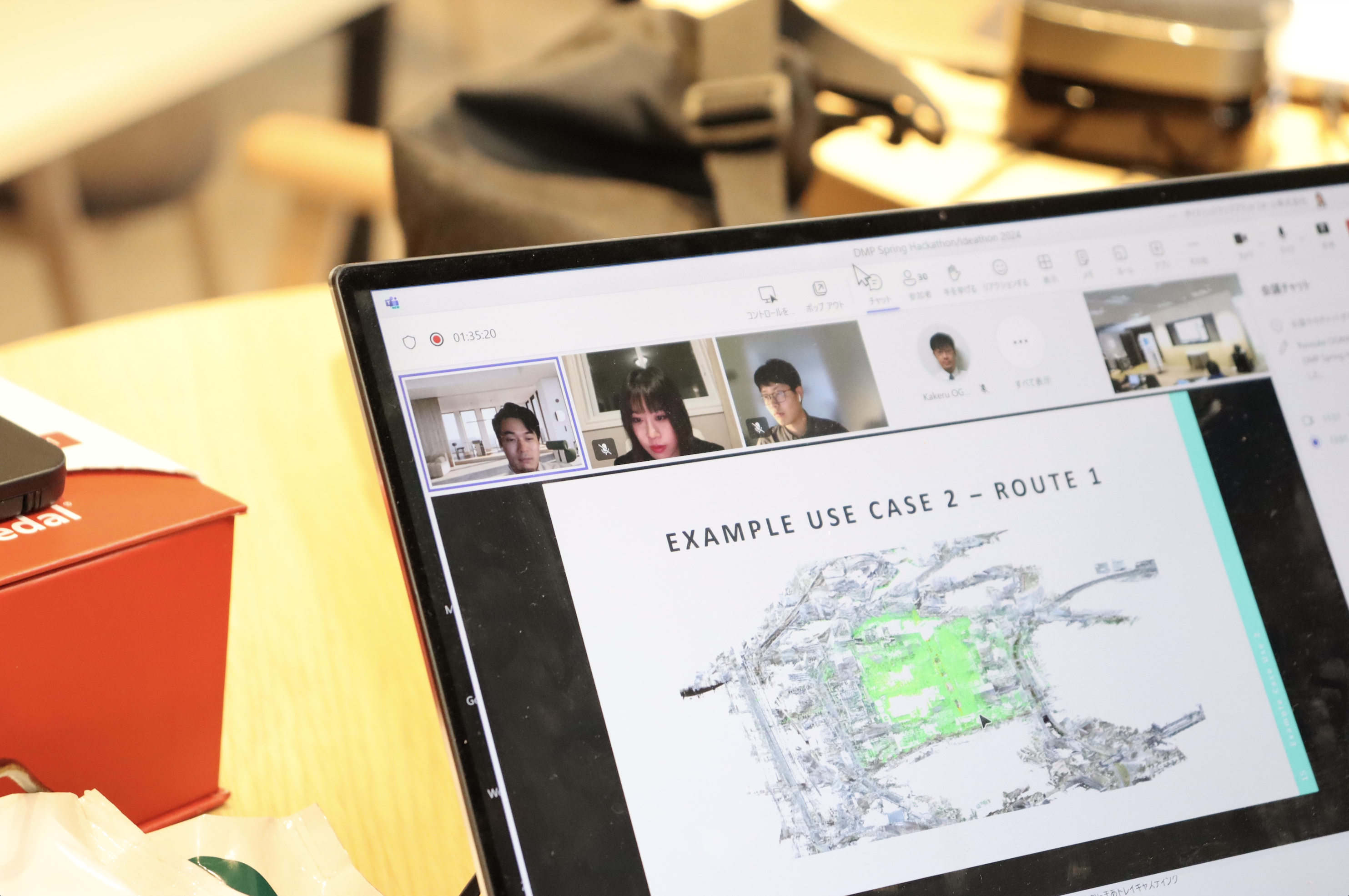
- Received third place and a Business Incubation Award at the Dynamic Map Platform hackathon (50,000 JPY).
Core Features
- Select a point of interest and explore where it is visible.
- Use ray casting to assess sightlines through an urban point cloud.
- Visualize potential viewpoints for sightseeing and planning.

Skills
- Point Cloud Data
- Ray-Casting
- 3D Visualization
- Urban Planning
- 3D Rendering
Keywords
- Point Cloud
- Urban Landscape
- 3D Visualization
- Visibility Assessment
- Ray-Casting
- Tourism Experience
Team Members
Ryoto Miyake, Yuzhe You, Ce Zhang